Beagle Channel Map: What Sits Where Between Ushuaia and the Chilean Shore
A landmark-by-landmark reading of the Beagle Channel map, from the islets in sight of the port to the penguin colony far to the east. Use it to match a route to the hours you actually have.
Updated 29 October 2026
In shortThe channel runs roughly east to west in front of Ushuaia. The city port sits on the Argentine bank, Chile on the opposite shore. Bird and sea lion islets lie close to town, the Les Eclaireurs lighthouse about 20 km out is the turn of the short route, and Isla Martillo with Estancia Harberton sits about 90 km east.
about 20 kmPort to the lighthouse
about 90 kmEast to Isla Martillo
about 72 kmRoad to Puerto Almanza
4 hoursShort route, from US$100
Departure area for the channel sailingsLighthouse, islands and wildlife sites on the channelVillages and estancias on the channel shore
The Beagle Channel from the Ushuaia pier east to Isla Martillo, with the lighthouse, the islands and the shore villages reached by the tours on this site.
What the Beagle Channel map shows in front of Ushuaia
Ushuaia sits on the northern bank. Boats leave the port area on Avenida Prefectura Naval Argentina, and from town the water fills the southern horizon, with mountains rising again on the far side: Chile. The municipal tourism board uses the Yamana name Onashaga and sets the channel between the Andes and the sea.
Darwin put the waterway at some 120 miles long with an average breadth of about two miles, and that narrowness is why both banks stay in view from the deck for the whole trip. Nothing on the standard sailings lies west of the port. The islets, the lighthouse and the penguin colony all sit east or southeast of it, strung out along a line you can follow with your finger on the widget above, one landmark after the next.
The Chilean shore opposite is Isla Navarino, and Puerto Williams stands on it. Licensed companies cross from Ushuaia, normally sailing out one day and coming back the next; a landing ramp at Puerto Navarino, about 45 km from Puerto Williams, reopened tourist traffic across the water. Ponsonby Sound branches off at right angles on the southern side, which Darwin recorded on the survey.
Ushuaia Beagle Channel islands from west to east
The first group is a cluster of low islets and rocks a short way out from the port: Isla de los Lobos with its sea lions, Isla de los Pajaros with its cormorants, and Isla Alicia. Boats hold position offshore here rather than land, so bring binoculars.
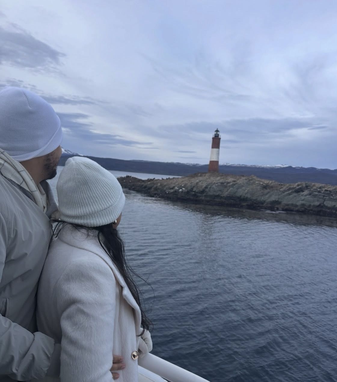
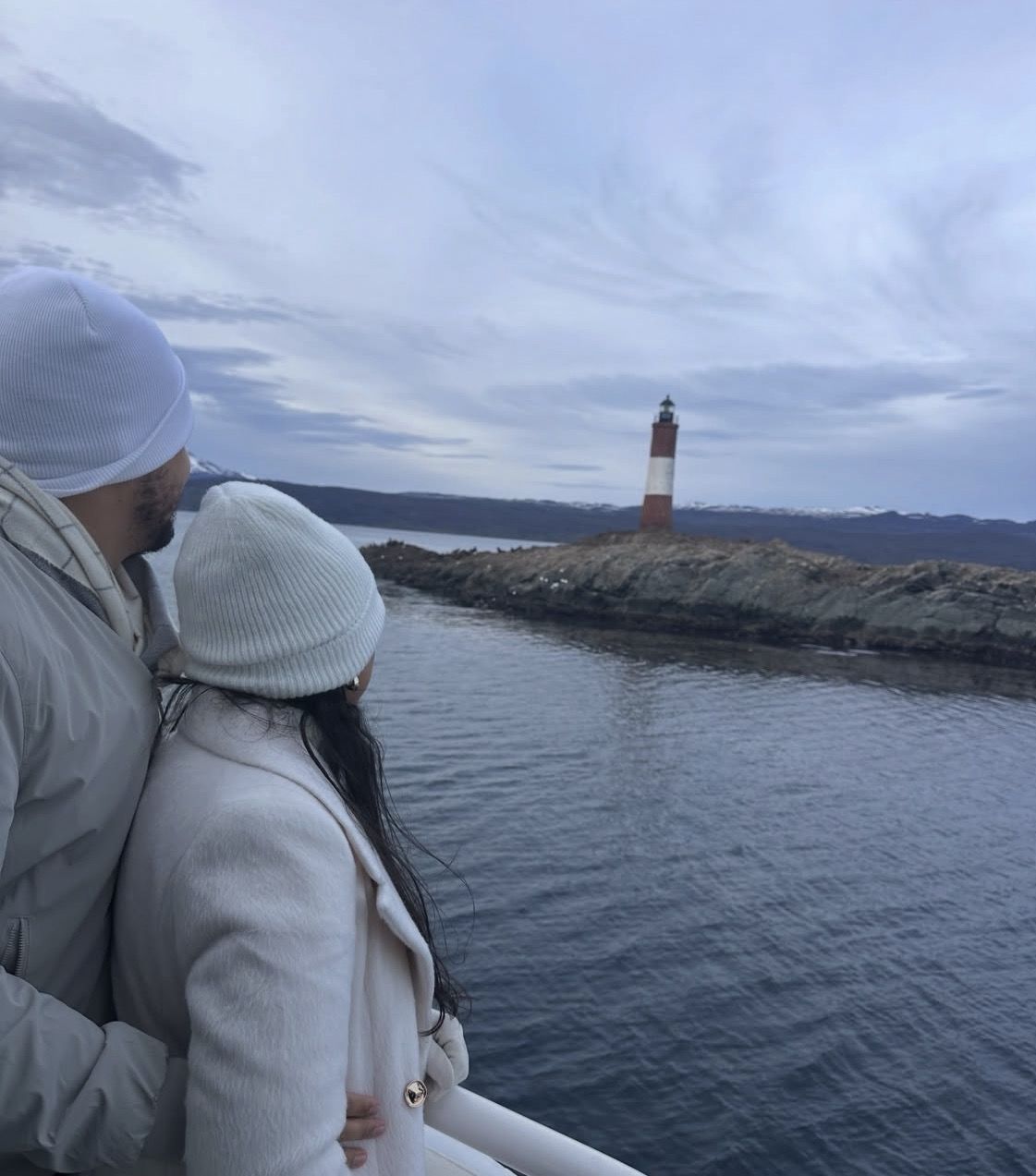
At roughly the 20 km mark from the port, the line of islets ends at Les Eclaireurs, and this is the point on the map where the short sailings stop going east and turn for home. The dates attached to the spot differ between itineraries: one puts the lighthouse at 1920 and the Monte Cervantes wreck beside it at 1930, while another gives 1919 for the tower. The other lighthouse people have in mind, the Faro del Fin del Mundo, is not on this map at all: it stands on Isla de los Estados, more than 200 km away and beyond what a day trip can cover. A replica of that one stands at the Museo Maritimo in town.
Landings happen in the Bridges group, where different itineraries name Isla Bridges, Isla Karelo and Isla H. The walk ashore is short and guided, following a trail past Yamana shell middens to a viewpoint.
Follow the line east for about 90 km and it ends at Isla Martillo, which the municipal registry lists as the only penguin colony in Tierra del Fuego: Magellanic and Gentoo birds occupy the island from October to April, with king penguins turning up only occasionally. On paper that dot is a protected natural reserve, so the provincial authority caps what can happen there: small groups only, each with a professional guide. Estancia Harberton faces it from the Argentine shore, also about 90 km out, at Ruta J Km 43: founded in 1886 by Thomas Bridges, still run by the fifth and sixth generations, with the Museo Acatushun on site and public opening from 11 October to March, 12:00 to 19:00, closed Tuesdays and on 25 December and 1 January.
Landmark
Where it sits
Distance from Ushuaia
Route that reaches it
Isla de los Lobos, Isla de los Pajaros, Isla Alicia
First stretch of water east of the port
A short way offshore
Every sailing
Les Eclaireurs lighthouse
Mid-channel, east of Ushuaia
About 20 km
Turn of the short out-and-back
Bridges Islands: Isla Bridges, Isla Karelo, Isla H
Small archipelago on the short route
Within the first 20 km
Short route, where the landing happens
Isla Martillo penguin colony
Eastern channel, opposite Estancia Harberton
About 90 km
Eastbound sailings, October to April
Estancia Harberton
Argentine shore, Ruta J Km 43
About 90 km
Eastbound by boat or by the coastal road
Puerto Almanza
Argentine shore east of Ushuaia
About 72 km by road; the municipal board gives about 75 km
Road access point on the shore
Faro del Fin del Mundo, Isla de los Estados
Well beyond the channel, to the east
More than 200 km
Not reachable on a day trip
Puerto Williams, Chilean shore
Opposite bank, Isla Navarino
Across the channel from Ushuaia
Cross-channel trip, out one day and back the next
The short route, with a landing
This 4-hour sailing covers the stretch of the map closest to Ushuaia, from the sea lion and cormorant islets to the turn at Les Eclaireurs about 20 km out, and it puts you ashore for a walk rather than only passing by.
Compare any list of departures and the same three tracks turn up under different names. How far east a line runs matters more than which boat sails it.
The short out-and-back stays inside the first 20 km: islets, the lighthouse, a landing on the Bridges group, then the same water in reverse. It fits a half day and runs through the year. The eastbound line keeps going past the Almanza shore to Isla Martillo and back, which roughly doubles the hours afloat and operates only while the penguins are there. Combined days mix road and water: the penguin-walk days go out along the Argentine shore by road and come back by boat, or the reverse, which reaches Harberton and the colony without keeping you on deck from morning to evening.
Short out-and-back: islets, Les Eclaireurs about 20 km out, a guided walk ashore on the Bridges Islands, then back to the same pier. Two listings trace exactly this line: the 4-hour Navigation with Minitrekking, from US$100 with 4.8 ★ (724 reviews), and the 3.5-hour yacht sailing, from US$110 with 4.9 ★ from a small sample of 11 reviews.
Eastbound to the colony: the same first islands, then a long leg east to Isla Martillo about 90 km out. Two listings follow this track, the Martillo boat trip at 5 hours from US$230, rated 4.3 ★ (115 reviews), and the catamaran at 5-6 hours from US$240, rated 4.2 ★ (127 reviews). Watching is done from the boat; stepping onto the island is a separate, small-group arrangement with a guide.
Land and water in one day, west of town: the 10-hour full day from US$220, rated 4.2 ★ (45 reviews), pairs the national park and the End of the World Train with a channel navigation, with pick-up at your accommodation.
Road access along the Argentine shore
East of town one road does the work: National Route 3, then Provincial Route J along the channel to Puerto Almanza at about 72 km, the municipal board giving about 75 km, and on to Estancia Harberton at Ruta J Km 43, roughly 90 km out. The eastern land-and-water itineraries follow that line, and they skip Tuesdays, when Harberton is closed to the public.
West of town the shore belongs to Parque Nacional Tierra del Fuego, more than 68,000 hectares and Argentina's southernmost protected area, with its southern boundary on the channel itself. The park charges its own daily entry, which no boat or train fare includes: AR$40.000 general from 1 June 2026, with lower rates for Argentine nationals, students and provincial residents. The railway on this side begins at Estacion Fin del Mundo, marked on National Route 3 at Km 3065 some 8 km out from the centre, and returns you to the same platform 1 hour 50 minutes later.
Zero point for the distances on this page: the port on Avenida Prefectura Naval Argentina, where the boats leave
East along the shore: Puerto Almanza at about 72 km, king crab and small family restaurants
East end of the road: Estancia Harberton, Ruta J Km 43, about 90 km, opposite Isla Martillo
West along the shore: Tierra del Fuego National Park, where the Andes meet the channel, fee paid separately
Inland markers on National Route 3: the Laguna Esmeralda trailhead 18 km out, Cerro Castor at km 26, about 27 km from Ushuaia
Which trips on this site cover which stretch
Start from the time you have. With half a day, take the 4-hour Navigation with Minitrekking, from US$100 and rated 4.8 ★ (724 reviews): it covers the islets, turns at Les Eclaireurs and is the only sailing here with time ashore stated, with cafeteria service for coffee, tea and hot chocolate and no food on board. On the map its starting point is the corner of Avenida Prefectura Naval Argentina and Calle Roca, the Patagonia Explorer office inside the tourist port, where you check in 30 minutes ahead of the departure time. For a quieter deck and fewer people in the way of a camera over the same stretch, the 3.5-hour yacht sailing from US$110 covers it, with a harbour tax of about US$3 not included.
With most of a day free and a visit between October and April, the eastern section opens up. The 5-hour Martillo Island boat trip from US$230 includes a local professional guide, the boarding tax and an air-conditioned vehicle, with tickets exchanged at the Canoero box office 30 minutes before the scheduled time; the 5-6 hour catamaran from US$240 includes all fees and taxes and a restroom on board. Both keep you aboard at the colony, so judge them on hours and comfort.
One full day and no particular interest in penguins points to the 10-hour combination from US$220, which covers the western shore by road, rail and water. Cruise passengers with a single morning ashore do better with the 5-hour shore excursion from US$119, rated 4.5 ★ (167 reviews), built around the ship's schedule and meeting outside the cruise port exit. Put the navigation early in your stay: sailings are cancelled only when the Prefectura Naval Argentina announces it, and a spare day leaves you another departure.
Questions people ask
Can I see the penguin colony on the short lighthouse route?
No. The two sit at opposite ends of the map: the short sailings turn back at Les Eclaireurs about 20 km out, while Isla Martillo lies roughly 90 km east of the port. Only the eastbound trips reach the colony, and they sail while the penguins are present, from October to April. Nobody goes ashore on the island from the penguin catamarans.
Does the Beagle Channel map look different in winter?
The water and the landmarks are the same, and sailings leave the port area all year, but the eastern end effectively closes. Harberton opens to the public only from 11 October to March, and the penguins are on Isla Martillo from October to April. Winter gives about 7 hours of daylight, so an afternoon departure finishes near dusk.
How do I get to the Chilean side of the channel?
The crossing to Puerto Williams is worked by licensed companies, and it takes two days on the calendar: out on one, back on the following one. Formalities are handled at the Puerto de Ushuaia border post, where Argentine immigration is staffed around the clock. Puerto Williams can also be reached by a subsidised flight from Punta Arenas of about 1 hour 15 minutes, or by a ferry of roughly 30 hours.
Where does Tierra del Fuego National Park sit on the channel?
At the western end of the map, with its southern edge running along the channel shore just west of Ushuaia; its more than 68,000 hectares make it the southernmost protected area in Argentina. It covers a different part of the map from the island sailings. Entry is charged at the park and is not included in the train ticket or in the tours listed here.
Where exactly do the boats leave from?
From the port area on Avenida Prefectura Naval Argentina, on the waterfront below the town centre, where the ticket offices stand along the costanera. Presenting 30 minutes before departure is standard on the sailings listed here.
Everything marked in the first 20 km of this map is on the 4-hour Navigation with Minitrekking: the islets, the turn at the lighthouse, a landing to walk the island trail. It starts at US$100 and carries 4.8 ★ (724 reviews). Cancelling at least 24 hours before the scheduled departure time costs you nothing.